 Data & layout
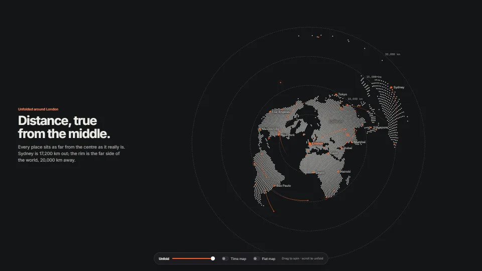
Dot globe that unfolds into a map
Stylised: the world in halftone dots, unfolding into a map, in raw WebGPU
The world drawn with one primitive, the anti-aliased dot.
0.79 GPU · 0.36 CPU ms
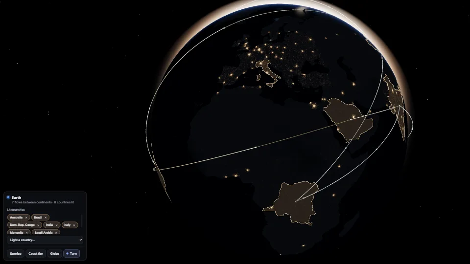
A planet to put a story on: land and sea from Natural Earth, the sun rising over the edge through an atmosphere, its glint on the water, city lights on the…
Measured 13 November 2026 on RTX 4060 Laptop, 13th Gen Intel(R) Core(TM) i9-13900H, Chrome 157, 1920×1080 at 1×. 600 frames × 3 rounds, median kept (rounds ranged GPU 0.52–0.65, CPU 0.19–0.29 ms). What ran: Measured turning by itself at the globe’s resting distance, the sun on the edge, seven flows with two comets each, clouds and stars on: drawn every frame. The coast tier is loaded and blended in the same shader, off screen. Left alone for 30 s (and not measured) it rests: nothing is drawn. Phones: tiers are being measured next.
| Machine | GPU ms | CPU ms | CPU p95 |
|---|---|---|---|
| RTX 4060 Laptop · 13th Gen Intel(R) Core(TM) i9-13900Hreference · measuring tool | 0.64 | 0.19 | 0.28 |
| apple · Apple A19 Proin a browser tab · 16 November 2026 | 3.21 | 0.24 | 0.38 |
| Intel Arc 140V (Xe2-LPG) · Intel Core Ultra 7 258Vin a browser tab · 15 November 2026 | 3.54 | 0.58 | 0.79 |
Bars against one 16.7 ms frame. A browser-tab run is timed in a visible tab without the tool’s scripted input, so read it as close, not exact.
Data & layoutStylised: the world in halftone dots, unfolding into a map, in raw WebGPU
The world drawn with one primitive, the anti-aliased dot.
From My other apps. Fully custom code.
Natural Earth (public domain): Country outlines (1:50m, through world-atlas) and, in the coast tier, roads and lakes (1:10m). Made with Natural Earth.
world-atlas by Mike Bostock (ISC): The TopoJSON packaging of Natural Earth’s countries the map was baked from; its notice is in NOTICE.md.
NOAA National Centers for Environmental Information, ETOPO 2022 15 Arc-Second Global Relief Model (CC0-1.0): The coast tier’s heights (a 30 arc-second subset), bicubic between cells.
Jarzynski & Olano, Hash Functions for GPU Rendering (2020): PCG, as three’s TSL `hash`, places the stars.
Ken Shoemake, Animating rotation with quaternion curves (1985): Spherical linear interpolation: the arcs follow great circles.
Hillshading (Yoëli 1967; the cartographer’s north-west light): The tier’s relief, baked from the height’s slope.
Third-party terms ship with it in NOTICE.md.
 Simulation
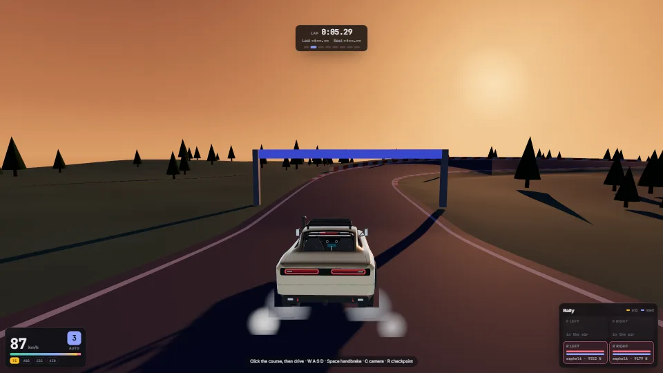
A car as a rigid body in 3D on four raycast springs, stepped at a fixed 120 Hz with no physics engine.
 Simulation
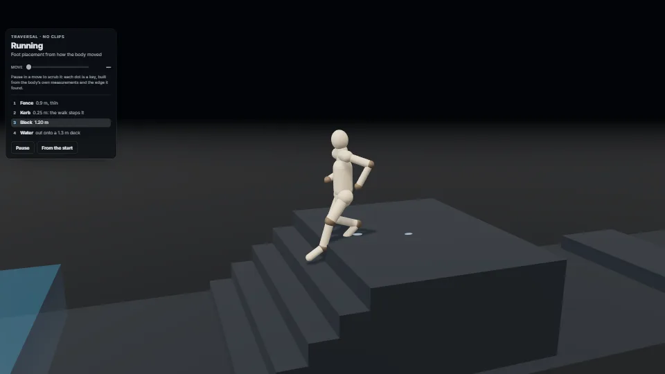
Getting over and up things with no animation clips and no jump.
 Simulation
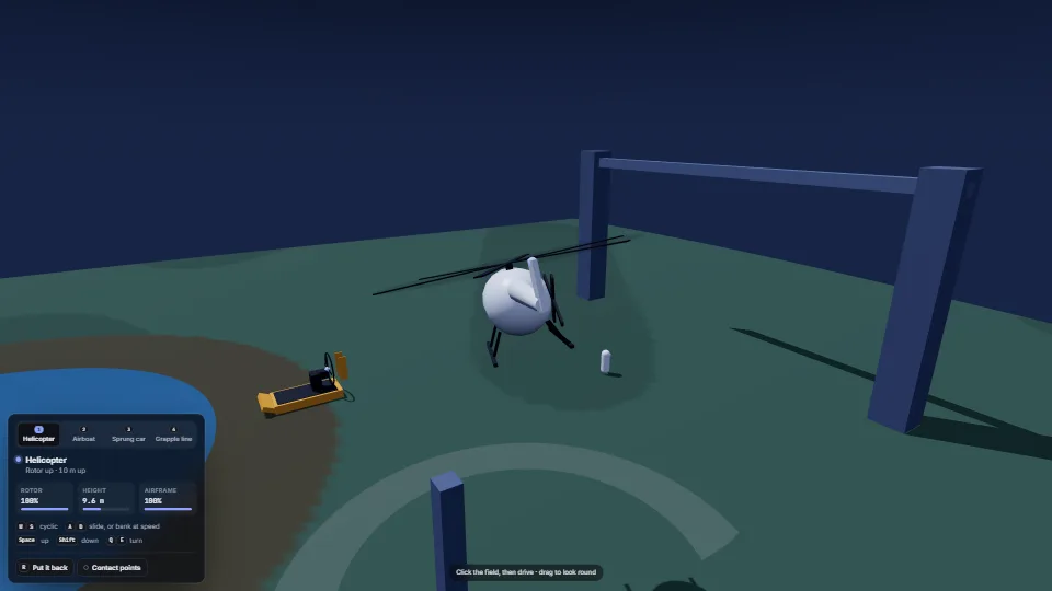
Four small, pure models of how things move, each stepped with plain ground functions and no physics engine.
 Simulation